
14 Jul How to Change Map Styles in Google Earth – And Why
The web version of Google Earth has improved a lot since its launch five years ago. One of those improvements is found in the number of ways that you can customize the map style displayed when you are viewing and creating projects in Google Earth.
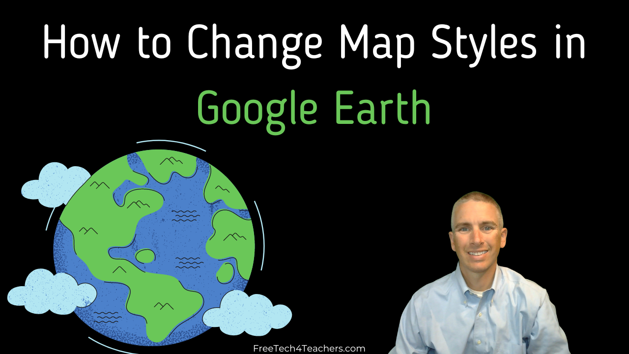
In this new video I demonstrate how to change the map styles that you see in the web version of Google Earth. The video includes customizing the display of borders, labels, landmarks, landmark types, live cloud cover, and more.
The web version of Google Earth has improved a lot since its launch five years ago. One of those improvements is found in the number of ways that you can customize the map style displayed when you are viewing and creating projects in Google Earth. In this new video I demonstrate how to change the map styles that you see in the web version of Google Earth. The video includes customizing the display of borders, labels, landmarks, landmark types, live cloud cover, and more. Applications for EducationOne of the benefits of customizing the map style in Google Earth becomes evident when using some inexpensive Chromebooks and or slow Internet connections. Turning off some of the map style features like 3D buildings and live cloud cover can make Google Earth load faster. From an instructional standpoint, adjusting the map style in Google Earth can be helpful to you and your students. For example, when starting a geography lesson about a region of the world you may want to turn off the state and province borders to show just the country borders. Or take it step further and turn off all borders and have students attempt to identify a country by the landmarks that are displayed on the map that you’re showing to them. Learn more about teaching with Google Earth in my upcoming webinar, To Geography & Beyond With Google Earth & Maps. Check out Around the World With Google Earth as an activity for introducing students to finding places in Google Earth and creating placemarks in Google Earth. Are you a tech coach or media specialist looking for some new ideas to share with your colleagues? If so, 50 Tech Tuesday Tips is an eBook you need. You can get it right here. Around the World With Google Earth, Free Technology For Teachers, Geography, Google Earth, how toRead More
Sorry, the comment form is closed at this time.