
16 Sep Great Reads from Great Places – An Interactive Map from the Library of Congress

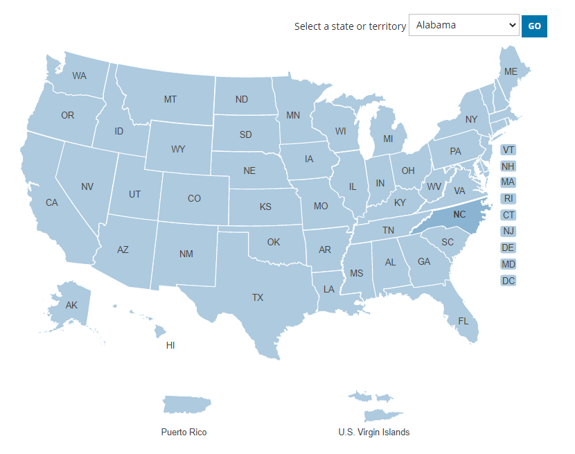
Great Reads from Great Places is an interactive map produced by the Library of Congress for the National Book Festival. The purpose of the map is twofold. First, to help visitors find National Book Festival-related events in their states. Second, to help visitors find books that are connected to their states. Those connections could be that the author wrote the book in that state or the story takes place in that state.
Applications for Education
Great Reads from Great Places could be a useful tool for students to use to find a new-to-them book to read. It’s a good model for having students create their own interactive maps.
Following the model of Great Reads from Great Places students could use a tool like Padlet or Google’s My Maps to create interactive maps featuring their favorite books aligned to states, provinces, cities, or countries. Here’s a demo of how to create a multimedia map with Padlet.
Great Reads from Great Places is an interactive map produced by the Library of Congress for the National Book Festival. The purpose of the map is twofold. First, to help visitors find National Book Festival-related events in their states. Second, to help visitors find books that are connected to their states. Those connections could be that the author wrote the book in that state or the story takes place in that state. Applications for EducationGreat Reads from Great Places could be a useful tool for students to use to find a new-to-them book to read. It’s a good model for having students create their own interactive maps. Following the model of Great Reads from Great Places students could use a tool like Padlet or Google’s My Maps to create interactive maps featuring their favorite books aligned to states, provinces, cities, or countries. Here’s a demo of how to create a multimedia map with Padlet. book recommendations, Free Technology For Teachers, interactive map, Library of Congress, Literature, Mapping, Maps, Padlet, ReadingRead More
Sorry, the comment form is closed at this time.